Reach Harrisburg Audiences Based on Physical Movement

Connect with local consumers by identifying their real-world behaviors and delivering timely messages that reflect their immediate interests.

01Market context
Pl. 02 / the environment the decision is made in
Geofencing work for Harrisburg organizations

Responding to Real-World Intent

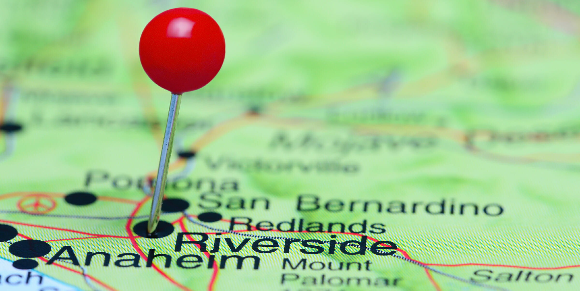
Geofencing defines precise virtual boundaries around specific locations, allowing businesses to engage with individuals entering or exiting those areas. This approach moves beyond broad demographic targeting to focus on actual physical presence, offering a direct way to connect with potential customers when their location indicates a specific intent or need. By observing movement patterns, businesses can tailor their outreach, ensuring relevance and increasing the likelihood of engagement.

This strategy provides a distinct advantage in Harrisburg, where physical locations often signify a clear consumer interest. Businesses can target visitors to specific attractions, event attendees, or customers near complementary businesses. Such precision helps marketers avoid generalized messaging, instead focusing on what matters to an individual at that particular moment and place, aligning with their current activities.

Raincross measures the effectiveness of these location-defined audiences, tracking how digital engagement translates into physical visits and, ultimately, revenue. Our process involves identifying key points of interest relevant to your business objectives, developing targeted messages for those areas, and then analyzing the outcomes. This cycle ensures continuous refinement of geofencing campaigns, maximizing their impact and return.
02 / How the work runs

How the work runs here

  1. 01

    Define Key Locations

    We identify specific Harrisburg landmarks, event venues, or commercial zones that attract your target audience. This creates the virtual boundaries for engagement.

  2. 02

    Analyze Behavior Patterns

    Understanding the real-world movements of consumers helps us craft messages that resonate. We determine when and where to best connect with them.

  3. 03

    Deliver Targeted Messages

    Individuals entering or exiting defined areas receive timely, relevant communications. This ensures messages are seen when interest is likely highest.

  4. 04

    Measure Impact and Visits

    Campaign performance is tracked, assessing how digital interactions lead to physical site visits and business outcomes. This provides clear data for optimization.

Fig. 01

How geofencing runs for Harrisburg organizations

03The experts behind the work

The people behind this work.

A selection of the specialists who lead and shape this work, supported by a broader multidisciplinary team.

04Selected engagements
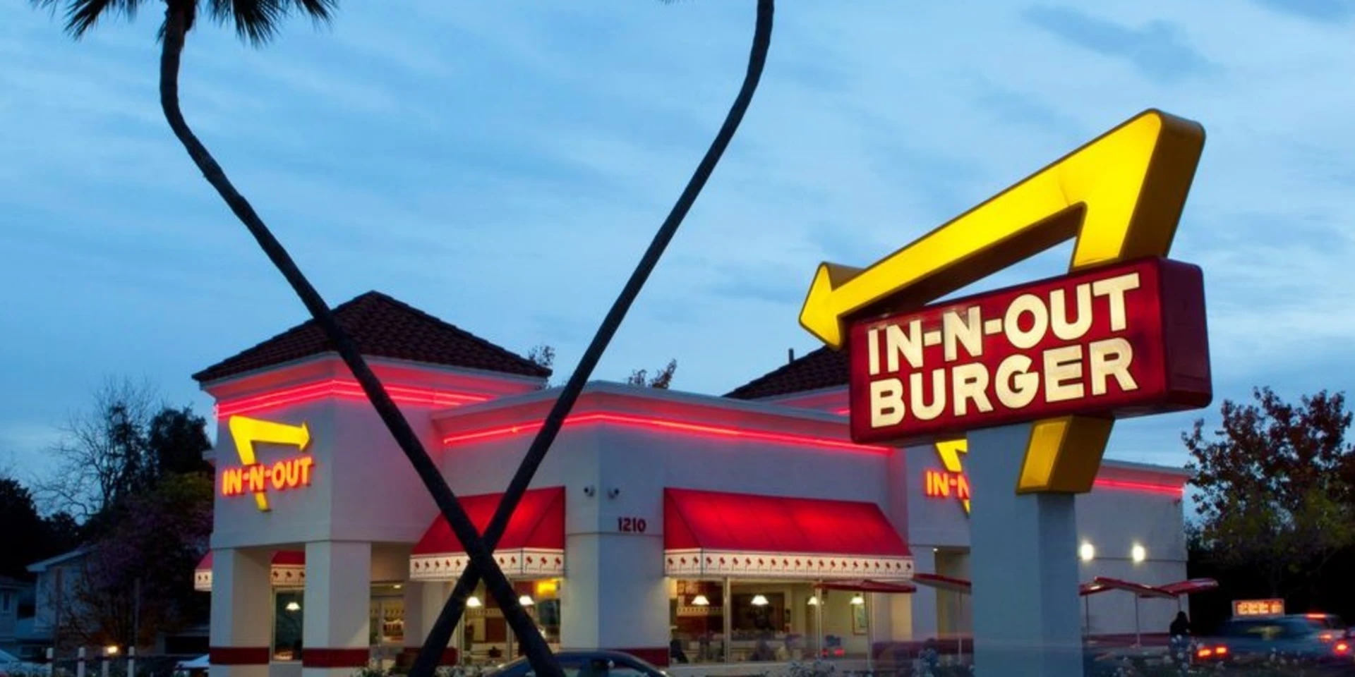
In-N-Out Burger logo

Awareness was never the problem. The opportunity was proximity: making it effortless to find a nearby location at the exact moment of the decision. Most of those searches happened on a phone with immediate intent, someone wanting hours, directions, or the closest restaurant, not information about the brand.

Franchises | Advertising

7

High-intent local search patterns targeted

Franchises

Advertising

Read full story
In-N-Out Burger restaurant and neon sign at dusk

In-N-Out Burger

01 / 02

06Questions

Questions we are asked about this.

  • How can geofencing help my Harrisburg business grow?

    Geofencing allows you to reach potential customers precisely when they are near relevant locations or events in Harrisburg. This targeted approach can increase foot traffic to your business or promote specific offers to an audience whose location suggests current interest.

  • Is geofencing effective for both residents and tourists in Harrisburg?

    Yes, geofencing can effectively target both groups. By setting virtual boundaries around local attractions, cultural sites, or business districts, you can engage tourists exploring Harrisburg as well as residents engaged in daily activities, tailoring messages to each group.

  • What kind of data is used to set up geofences?

    We use location data to create virtual boundaries around specific points of interest. This data allows us to identify when a user's device enters or leaves these defined areas, triggering relevant communication based on their real-world movements.

Start a conversation

Let's talk about geofencing in Harrisburg

Tell us where you are and what you need to move. We will tell you what we would do first.